This morning we returned our rental, and got ferried back to the marina by the rental company. Enterprise gets our business mostly because they pick you up and drop you off. After that it was a quick ride out to Cabbage Key aboard Gizmoe, the Nagle’s 29′ Grady White.

Gizmoe

Coming out of Burnt Store Marina at 26 knots, almost four times faster than we travel.

The money taped to the walls and ceiling of the restaurant made famous by Jimmy Buffett.
“there are over 70,000 dollar bills on the walls, with written names, sayings and graffiti. The tradition started years ago when a commercial fisherman, flush with cash, taped a few bills to the wall, ensuring he would have enough money to return for more libations. Famous celebrities are reported to have tacked their dollars such as John F. Kennedy, Ernest Hemingway, Jimmy Carter and others.”(1)

A view towards the dock of the restaurant.
Did we have a cheeseburger here? Of course. I don’t eat many burgers and this one tasted, well, like a cheeseburger.

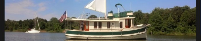
On our way back to Burnt Store we swung by Useppa island (private) and saw this boat being towed off a shoal by a few BoatUS tow boats. We saw them trying to get it off when we were heading over for lunch and they were still working at it a few hours later.
We did a quick “head count” of the number of Erie people we talked to at Burnt Store. The total was ten, a few of the people we hadn’t seen in quite a number of years. A number of them didn’t even know it was us aboard Liberty but simply stopped by to see the boat after seeing the EYC burgee on the bow or the hailing port on the stern. There was one last dip in the pool this evening as we pull up stakes tomorrow morning and head south to Captiva for a rendezvous with the Lord Nelson Tug Nellie D. tomorrow and then the Pilgrim 40 Destiny the following day.
Dave
(1) http://www.authenticflorida.com/authentic-travel/weekend-getaway/cheeseburger-in-paradise-authentic-cabbage-key/


